
GIS & Information Services
SLR’s GIS services can help clients turn data into high quality visual representations of spatial information. These enable our clients to make better informed decisions and easily communicate concepts to regulators, professionals and laymen alike.
GIS (Geographical Information Systems/Science) is a computer-based system that is used widely amongst our clients as a way to capture, store, display and analyse data that has a geospatial reference. This allows us to visualise patterns, trends and relationships in the form of distinctive maps.

Overview
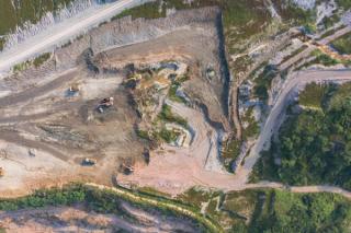
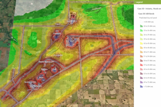
GIS gives us the ability to map, model, query and analyse large quantities of data stored both outside of and within a relational database according to its geographical location. We can then assign a series of attributes to each spatial feature. This data is held within GIS as a collection of layers that can be linked together by a common location component, such as coordinates, postcodes, census output areas, government boundaries, etc. These layers can contain a variety of different types of data such as transportation networks, site infrastructure, economic activity, hydrology, ecology, population etc.
Through geospatial visualisation, our clients make better informed decisions, enhance internal and stakeholder communication, fulfil statutory requirements, and manage resources and assets more efficiently. Our drawings and output comply with our corporate image and are in accordance with our accredited quality assurance.
Get in touch with our GIS teamGIS & Information Services
-
Our services include
- Data capture, management and manipulation
- Geoprocessing and spatial analysis
- 3D Spatial modelling and visualisation
- GIS project set-up, development and management of systems
- Date transformation (data to spatial layer - integration of data from a wide range of disciplines)
-
Production of publication-ready thematic maps
- Locality Maps (National, Regional, Site)
- Strategic Site Selection
- Land Use Identification
- Road Network Figures
- Pollution Plume Diagrams
- Hydrology Diagrams
- Slope Analysis
- Biodiversity Figures
- Off Shore Maps
- Wind Analysis
- Monitoring Diagrams
- Plant Layouts
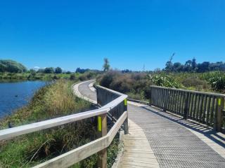
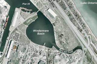
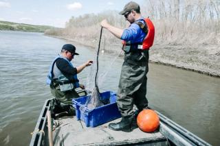
GIS & Information Services Projects
-
-

-

-

-
-

-

-
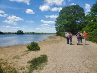
Formulating a Site Plan to Support the Ecology and Management Needs of the Bluff Point Properties, in Groton CT
Read more -

-
-

-

-

-
-

-

-
-
-

-
Our Team Includes
-

Bronwyn Gernet
Draughtswoman
-

Peter McGown
Technical Director, GIS and Information Services – Asia Pacific
-

Cheryl Nyman
Software/Database Systems Developer
-

Jonathan Salter
Technical Director GIS Lead
-

Meghan McGaffin
GIS Technical Discipline Manager
-

Nathan Turner
Principal Consultant, GIS & Information Services – Asia Pacific
-

Guy Eiserman
Senior GIS Specialist
-

Neil Gouder
Project GIS Analyst
Get in Touch
We're here to support you in Making Sustainability Happen. Get in touch for a collaborative discussion about what that could look like for your organisation.
Our locations