Carbon and Energy Newsletter - (UK) July 2026
by Graeme Precious, Matthew Whitworth, Javier Sánchez Muñoz
View post
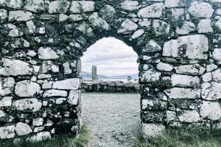
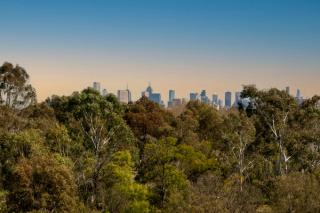
What is the Historic Environment?
Many people think it’s Buckingham Palace or the Ring of Brodgar, and to an extent it is. But it is so much more than that; from Listed Buildings in the city of Leicester to sheilings (summer farming huts) on the southern slopes of Ben Lomond. The historic environment is made up of every physical remain that humanity has left behind; it’s also known as archaeology and cultural heritage. It is a unique portion and insight of human history to be celebrated and cherished, it is also a finite resource, one that is not renewable, hence why it needs to be protected.
With most of the western world setting out pathways to net-zero carbon emissions by 2050, at SLR, we are implementing technology to ensure we are taking the lead. The culture within environmental consultancy is shifting and increasingly digital tools are supporting meaningful and inclusive engagement across project teams and workstreams.
In the UK there is clear cut guidance, provided by Historic England and Historic Environment Scotland, on how direct and indirect assessments on cultural heritage should be assessed. Resultingly, site walkover and setting assessments must be carried out in person by qualified experts. While walkover surveys have been deemed ‘essential work’ during the Covid-19 pandemic, setting assessments were challenging to conduct as these are often from publicly accessible places. During the Covid-19 lockdowns many of the Historic Environment Scotland (HES) and Historic England heritage sites that needed to be visited were closed.
So, how do we overcome the challenge of sustainably delivering robust direct and indirect cultural heritage assessments for our clients remotely?
Using innovative digital modelling SLR has adapted an existing software programme, generally used by our engineers, and have used this to overlay historic environment files provided by statutory bodies. The modelling uses Digital Terrain Model (DTM) information with overlays of the latest aerial imagery, providing a clear representation of the current landscape, and historic mapping combined with accurate locations of the heritage assets.
This results in a dynamic 3D interactive landscape, allowing us to undertake robust assessments remotely, with far greater accuracy than relying on GoogleEarthTM and bare earth wirelines, which don’t show the surrounding environment. This approach has also created a more adaptable form of study in lieu of static models such as Photomontages and Wirelines which are time intensive and costly to produce.
Are there other benefits to going digital?
Whilst Covid-19 was a catalyst to allow work to continue during lockdown, there are other benefits to this toolset such as removing some of the subjectivity inherent within the assessments and reducing the need for multiple visits to site: saving both time and carbon emissions associated with travel.
Now, with Covid-19 restrictions easing and much of the country opening back up, we’re continuing to use this approach to further communications between our clients and stakeholders, demonstrating the value of such innovative models within project development.
During these discussions we’ve been able to reduce the subjectivity of wirelines and bare earth models that do not show the current landscape character through visual aid and come to a mutual agreement on levels of impact. Gaining consensus through dialogue and use of such tools can benefit clients by reducing consultation time.
To meet ‘Net Zero’ commitments the development and consenting of new projects must become more efficient. Digital tools are forging collaborative cultures and facilitating the management of project information, whilst allowing remote access, saving time and carbon emissions. Clearly, digital practices are a step in the right direction.
SLR’s Cultural Heritage team are leading from the front, implementing such tools to drive greater collaboration and efficiency which are paramount to a successful project delivery.
This work recently contributed to a piece that was presented at Scotland’s EIA conference 2021 by Alison Baisden from Historic Environment Scotland on ‘The use of digital technology in assisting assessment of the historic environment’.
by Graeme Precious, Matthew Whitworth, Javier Sánchez Muñoz